The archaeological site of El Castellar de la Morera is located 3.50 km north of the urban center of Elche, on the left bank of the Vinalopó river. It occupies the upper part of an isolated elevation with a slightly conical shape, belonging to the rural area known as Ferriol, being part of the last southern foothills of the Sierra del Tabayá, with a maximum altitude of 274 m a/s/l.
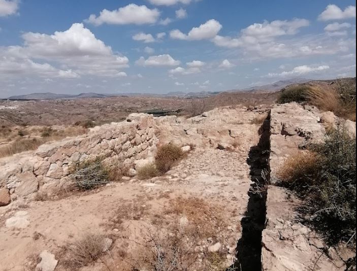
Regarding the walls that make it up, between 80 and 90 cm wide, their lower section is built with masonry and ashlars pointed with lime mortar and plastered with the same material, in some visible sections exceeding 1.5 m in height preserved at present, to which the height of an upper elevation wall made of rammed orange earth must be added, as it has been possible to corroborate in the excavation of Rooms I and II.
Archaelogical Site
The archaeological site of El Castellar de la Morera is located 3.50 km north of the urban center of Elche, on the left bank of the Vinalopó river.

Murallas
The wall, 2 m wide and up to 1.5 m high, was built using masonry and dry ashlars. It has some sections in which there seem to be remains of lime mortar pointing the stone elements.

Alcazaba (Moorish Palace)
The highest area of the settlement is located in the northeast edge of the hill, where Building I, traditionally called Castillete or Fortín, is based.

